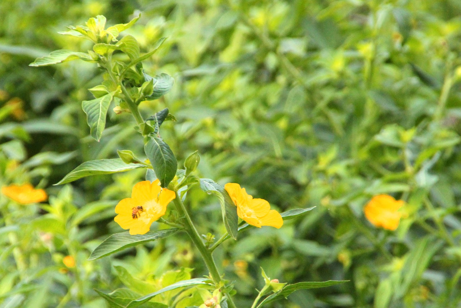
The land cut is as straight as a surveyor’s line of sight can make it. That may sound boring, but we found it anything but. The sides of the canal are choked with vegetation, but that provides cover for a lot of wildlife such as birds, ducks, and alligators, and also an interesting array of wild flowers, Spanish moss, and other plants. Two years ago when I first tried to do this trip, the St. Johns River Management District told me to forget my plans to paddle the river. The water levels were so low that large sections of the river had dried out, and people were running the riverbed with ATV’s. This year there was no shortage of water, and levels were in fact the highest that had been seen in many years. The staining of the marsh grass along the canal showed that water level’s had dropped by three feet before our arrival.
Florida wildflowers in the swamp.
The St. Johns River officially runs 310 miles. In that distance it drops only 27 feet, or barely an inch per mile. While we ran through short sections with fast current, other areas have no current at all. Most of the river is a lazy stream that requires constant paddling to make progress. This is not a river for those who like to float down a river.
Great Egret, Blue Cypress Lake
Other natural features of the river are the universal presence of hydrilla and water hyacinth. These are both invasive foreign plants that spread quickly and can grow an inch per day. They can close canals and river sections, starve fish, and destroy native plants. Much has been done to control these plants, and we did well with the higher water levels, being able to navigate through large areas of the plants without a problem. Only once did I have to change my route due to a channel being choked off.
A view down a canal at the village on Blue Cypress Lake.
Our second lake crossing was of Lake Hell-N-Blazes. It is nothing like its days of yore when floating islands of vegetation bobbed about making passage difficult and navigation impossible. There was no channel to follow, as the islands would move with the wind. As you made your way across the lake, unable to see what was ahead, you could look astern to see that the opening just used had disappeared. It was said that the most common expression heard from those on the lake was, “Where the hell and blazes are we?” Thus the name. Conditions have much improved since then, and we made a direct rhumb line crossing without any problem.
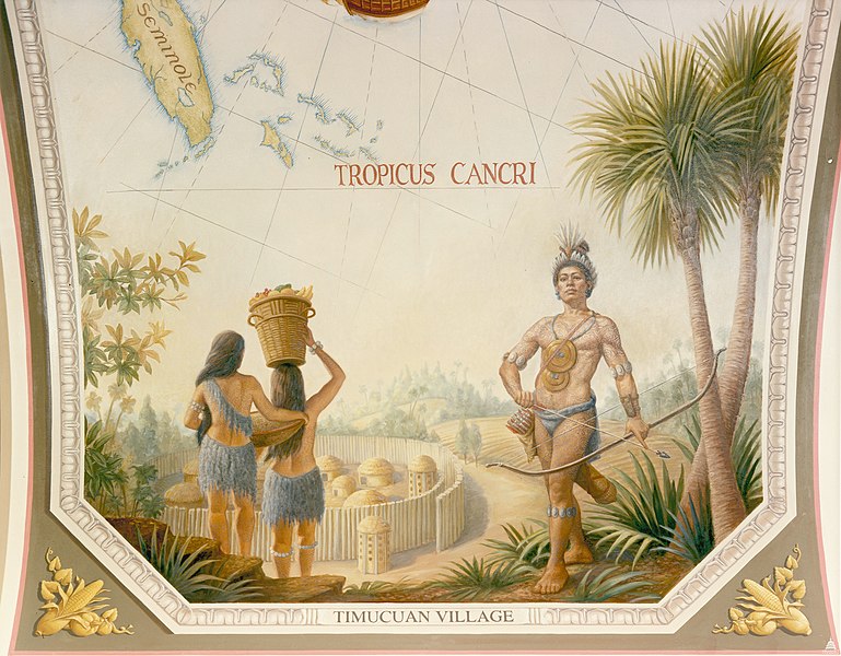
Timucua Indians and Village.
Illus. credit: Wikipedia
The St. Johns River was the home of the Timucua Indians, the indigenous peoples believed to be the first native population encountered by Juan Ponce de Leon when he landed in 1513 near St. Augustine. The arrival of the explorers brought new diseases to which these people had no immunity, and by 1595 their population had been reduced from 200,000 to 50,000. Fights with English settlers reduced their numbers further, and by the turn of the 19th century, their people had become totally extinct. When I learned that ibi was the Timucuan word for water, the root for the water bird ‘ibis’, it seemed only proper to recognize the native people of this region by naming my canoe with the Timicuan word for her natural element.


No comments:
Post a Comment